About Jorhat Dstrict
Geography:
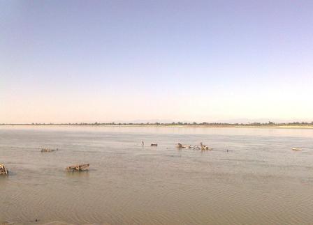
Jorhat district is situated at around 26�46'N latitude and 96�16'E longitude in the central part of Brahmaputra Valley, with occupies an area of 2852 km�. On the north of the district, the river Brahmaputra forms the largest riverine island of the world, Majuli, spreading over 924.6 km�.

Climate:
Jorhat district experiences moderate climate. The temperature varies between 39�C to 9�C with an average rainfall of 2244 mm.
Population:
The district has a population of about 10.91 lakhs.
Major crops:
Some of the major crops grow in this district are paddy, tea, vegetables etc.
Community:
The main communities inhabiting the district include Ahom, Mishing, Nora tribe etc.