About Tinsukia District
Geography:
Tinsukia is situated in between 27�23' to 27�48'N latitude and 93�22' to 95�38'E longitude, bounded by in east-south by Arunachal Pradesh, in south-west by Dibrugarh District and in north by Dhemaji District which is separated from Tinsukia District by the mighty river Brahmaputra. The major Reserve Forests of this district are Dibru-Saikhowa National Park, Tarani Reserve Forest, Buridehing Reserve Forest, Lokhipathar Reserve Forest, Kakojan Reserve Forest, Tokowani Reserve Forest etc.
Climate:
The climate is subtropical, warm and humid with an average annual rainfall of 2500 mm. and average rainy days are 140 to 150 days per year. The average maximum temperature is about 39� C and minimum 9� C.
Population:
The district has population of about 11, 50,062
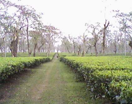
Major crops:
Some of the major crops grow in this district are autumn paddy, winter paddy, summer paddy, tea, vegetables etc.
Community:
The main communities inhabiting the district include Mishing, Singphow, Sema Naga, Tai-Phake, Tangsa, Tai-Khamyangs etc.